Kuwait Energy
EL-12-211107
48
0% and 2%, CO
2
content between 0% and 2.5%, while condensate content is estimated
to be about 60 Bbl/MMscf but is highly uncertain due to the unreliable nature of the fluid
samples and the fact that production was directly flared during the well tests with no
separation at the surface.
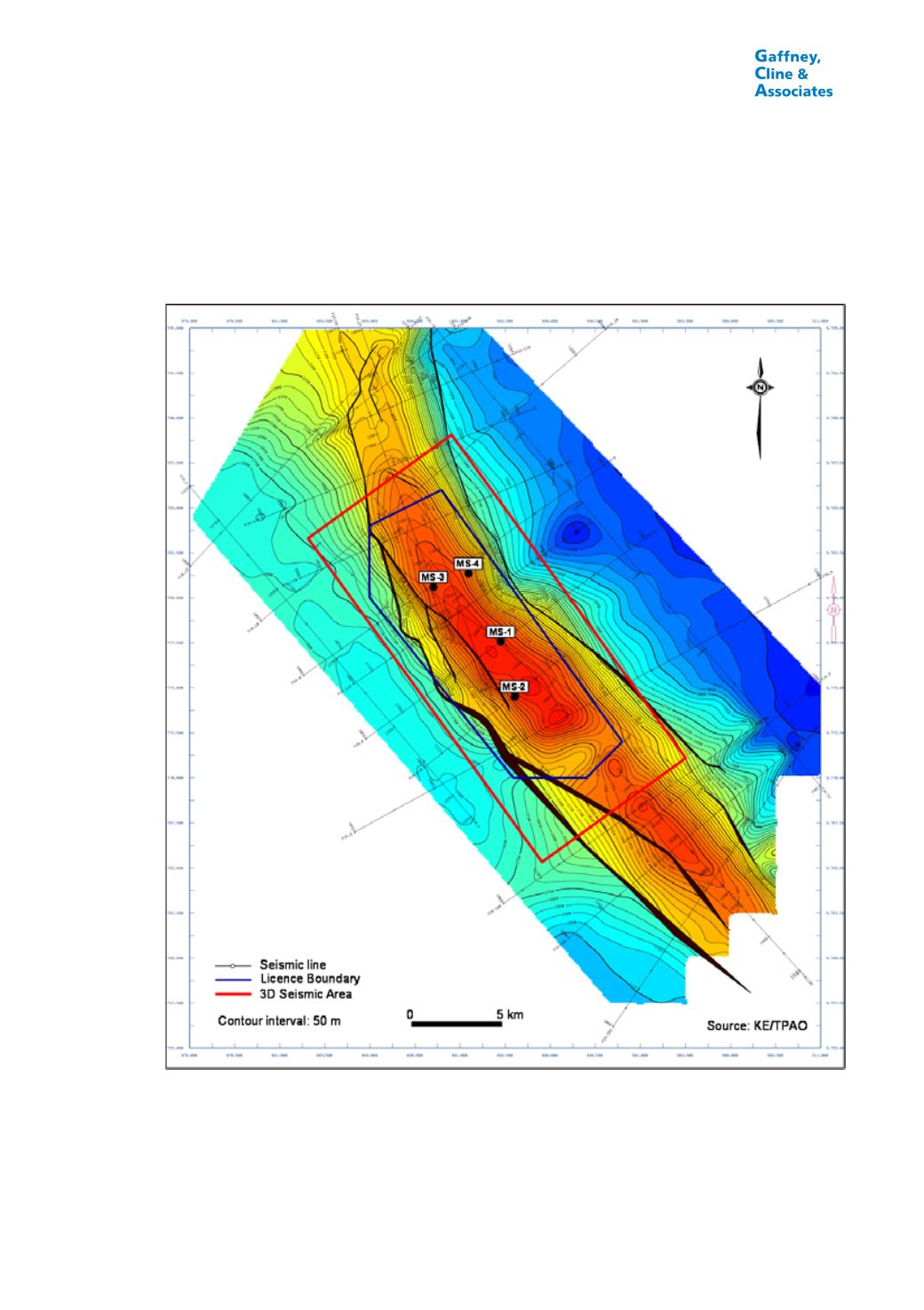
FIGURE 3.5
TOP JERIBE DEPTH MAP, MANSURIYA FIELD, IRAQ
The Mansuriya field is covered by a number of 2D seismic lines acquired between 1976
and 1982, with a spacing of about 2-5 km by 10 km (Figure 3.5). The seismic data were
reprocessed in 2005-2006. “Coordinate adjustments” of +395 for easting and +195 for
northing were made to the seismic grid in order to clarify discrepancies, with the
implication that the exact location of the seismic traces is uncertain. The seismic data


